
Snowstorm set to slam Northwest Montana mountains
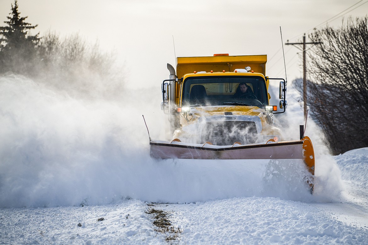
A snow plow operator clears Somers Stage Road on Wednesday, Dec. 21. (Casey Kreider/Daily Inter Lake)
Casey Kreider
A major winter storm is expected to impact Glacier National Park and mountain ranges in Northwest Montana this weekend.
Heavy snow is forecast along the Continental Divide, with 1 to 3 feet possible by Monday, according to models from the National Weather Service in Missoula. The Swan, Mission and Whitefish ranges could receive 6 inches to 2 feet.
The heaviest snowfall is expected Sunday through the evening.
Commuters traveling over Marias Pass on U.S. 2 and Lookout Pass on Interstate 90 should prepare for slick road conditions, the Weather Service warned.
Meteorologist Trent Parker described the incoming system as “juicier and colder” than the storm that hit Glacier National Park last weekend, which temporarily closed the alpine section of Going-to-the-Sun Road.
“We’re transitioning into winter,” Parker said during a forecast briefing Thursday.
Rain is expected in the Flathead Valley, with minor snow accumulation possible on grassy surfaces by Monday. Locations such as Olney and Happy’s Inn have the best chance for measurable snowfall.
“It’s time to start prepping your cars,” Parker said. “We’ll see some of the first snowflakes of the season for valley locations, especially in far Northwest Montana.”
High temperatures will trend lower beginning this weekend, with Monday’s highs reaching the upper 30s in the Flathead Valley. Overnight lows are expected to dip into the 20s next week.
Below-normal temperatures and above-normal precipitation are forecast over the next 10 days.