
Flood watch issued as Flathead, Swan rivers rise
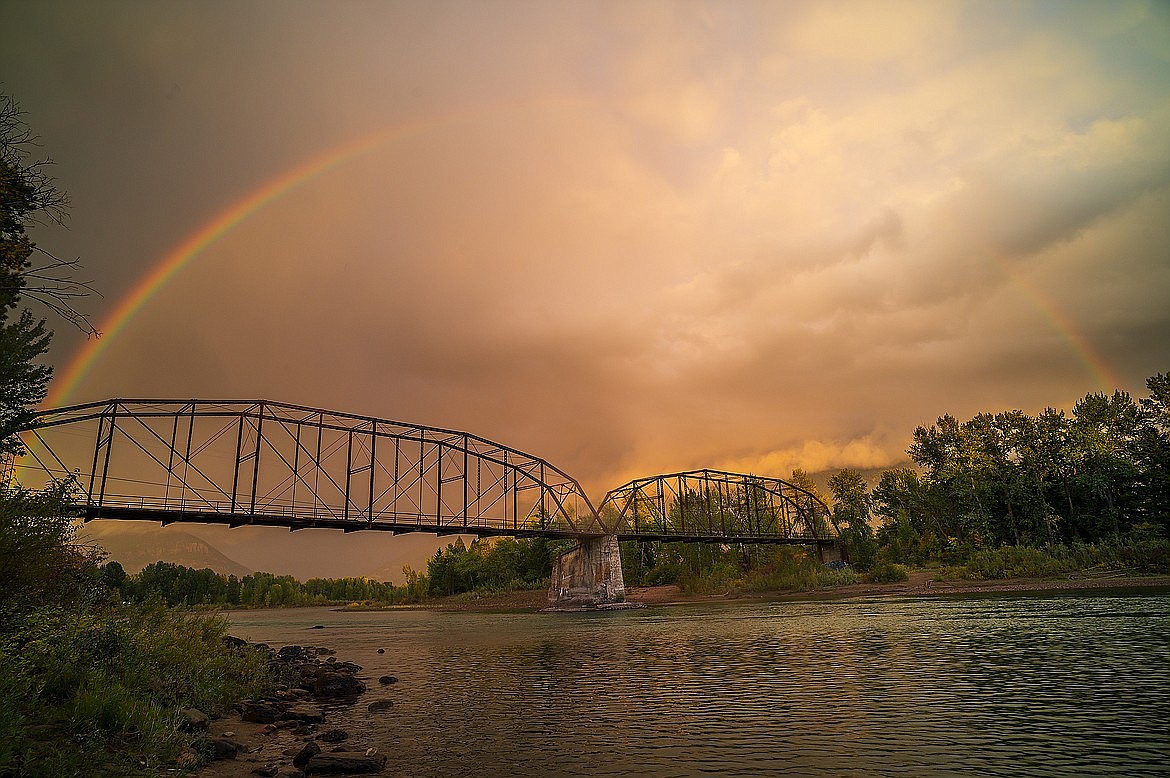
The Old Red Bridge spans the Flathead River in Columbia Falls in this file photo. (Hungry Horse News)
Days of moderate rainfall combined with mountain snowmelt is expected to cause some minor flooding across Northwest Montana through Monday.
The cool, slow-moving weather system will drench the region beginning Saturday night, with the bullseye on Glacier National Park. Along with persistent rain, mountain terrain above 7,000 feet could see accumulating snow Sunday morning.
"The focus remains along U.S. 93 and eastward, especially areas north of Flathead Lake, including Glacier National Park," the National Weather Service in Missoula reported in its Saturday forecast.
Most areas will see about a half inch of precipitation, with 2-4 inches in the Mission and Flathead mountain ranges.
A flood watch was issued for the West Glacier region, as well as the Flathead and Mission valleys through Monday. The Weather Service identified Kalispell and Glacier Park's Going-to-the-Sun Road as specific areas of concern.
Excessive runoff may result in flooding of rivers, creeks, streams and other flood-prone locations, the Weather Service warned. Rockfall and debris flows are also possible in steep terrain.
The Flathead River at Columbia Falls was predicted to crest its 14-foot flood stage by Sunday afternoon and peak at 14.63 feet on Monday.
The Swan River at Bigfork may also near its 6.5-foot flood stage. It was at 5.2 feet on Saturday and was expected to top off at 6 feet on Monday.
Temperatures will run below average, with highs in the mid 50s on Sunday and Monday. Sun returns by Wednesday.