Wet March delivers needed boost to Northwest Montana snowpack
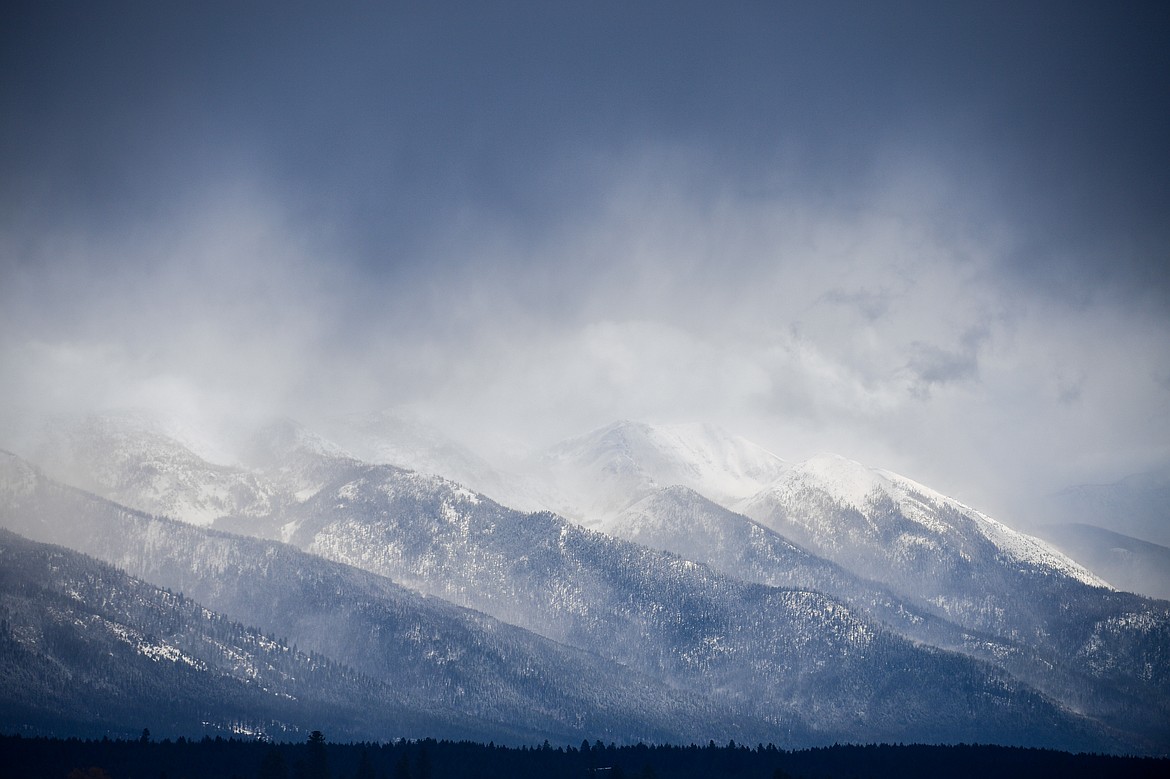
Storm clouds clear over the Swan Range in Creston on Thursday, April 3. (Casey Kreider/Daily Inter Lake)
Montana's snowpack is holding strong heading into spring after March delivered a solid punch of snowfall to the northern Rocky Mountains.
The Flathead Basin's snow water equivalent was at 99% of the median as of Tuesday. The measurement is the amount of liquid water held in the snowpack and is generally used to help predict spring runoff and summer river flows. The Kootenai Basin snowpack was at 96% of normal, with the Lower and Upper Clark Fork basins at 93%.
March brought a combination of snow accumulation, snowmelt and rain to Montana, said Eric Larson, a hydrologist with Natural Resources Conservation Service.
“The good news is precipitation was above normal across a majority of the state during March, with nearly all river basins receiving 110-140% of median total monthly precipitation,” Larson said Monday.
The timing and severity of the storms varied across the month. During the first two weeks of March most weather stations reported up an inch or two of precipitation, however Northwest Montana reported slightly more, about 2-4 inches.
Storms intensified during the second half of the month and most SNOTEL sites reported 2-5 inches of additional precipitation. Total monthly precipitation ranged from about 1 inch at several SNOTEL sites in Southwest Montana to about 14 inches at the highest elevations in Northwest Montana.
Noisy Basin in the Swan Range had 123 inches of snow on the ground Tuesday, holding nearly 50 inches of water.
“The switch in weather that occurred in late December has improved moisture levels significantly across most of the state, yet deficits persist in a couple locations,” said Larson.
He noted the Sun-Teton-Marias and St. Mary River basins on the east side of Glacier National Park, which boast snowpacks of 76% and 78%, respectively.
“The Rocky Mountain Front needs several large winter storms during April and May,” said Larson.
One location in central Montana worth noting, Larson said, is the Big Snowy Mountains where the Crystal Lake SNOTEL site at 6,130 feet had its fourth highest April 1 snowpack in 47 years.
Larson said that while recent warm and sunny weather has been a reminder that summer is around the corner, additional snow is needed in mountains to ensure healthy river flows. Snowpack levels generally peak this month.
“May 1 snowpack conditions will provide a more certain indication of what the snowmelt season will bring and at this point additional precipitation during April should be welcomed,” said Larson.
Most April-July streamflows across the state are forecasted to be near to below normal at 80-105% of median, according to NRCS models. Regions with larger water year precipitation and snowpack deficits such as the St. Mary, Sun-Teton-Marias, and Powder River basins are predicting below normal streamflow of 60-90% of median.
“Montana’s mountain snowpack conditions are better than last year at this time but, we are not out of the woods yet. Spring is generally a wet time of the year in Montana, hopefully that holds true this year,” said Larson.